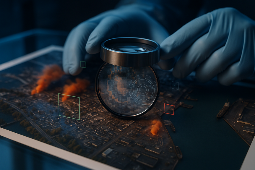
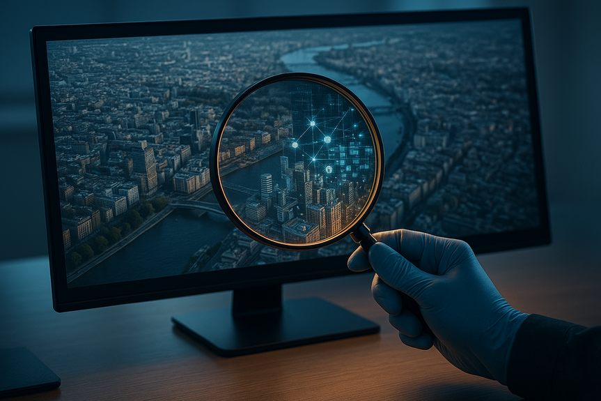
Detect AI-generated satellite images with five checks to verify authenticity and stop false alerts.
Use these five fast checks to detect AI-generated satellite images before they spread. Confirm the image source and time, look for geometry and scale errors, compare with trusted basemaps, inspect textures for repeats, and verify with ground data. This simple workflow helps you spot fake floods, fires, or bases before you share.
Google added an image generator to Earth that can place floods, fires, or damage on real locations. Reporters and researchers worry bad actors will use it to seed false events. You do not need special tools to stay safe online. With clear steps, you can quickly detect AI-generated satellite images and stop misinformation.
Why this matters now
Satellite maps help people verify war damage, disasters, and protests. They give a wide view and stable reference. When AI can draw fake scenes on top of real places, trust suffers. Fakes move faster than corrections. Governments and trolls can claim “that’s fake” even when it is real. Your quick review can slow that harm.
Five fast ways to detect AI-generated satellite images
1) Check source, link, and time
Look for the original post, not a screenshot. Ask for the direct file or link.
Note the platform. Is it from a known satellite provider (Maxar, Planet, Sentinel), a newsroom, or a random account?
Read the caption. Does it list a date, sensor, and location? Vague posts are a warning sign.
Scan for watermarks like “SynthID” in Google tools or Content Credentials (C2PA). Lack of clear provenance means more checking is needed.
2) Test geometry, scale, and shadows
Roads should meet cleanly. Curbs and runways should stay straight.
Bridges must align with both banks. Rivers should not “climb” hills.
Cars, planes, and boats should be scaled right. If a car looks as big as a bus lane, be cautious.
Shadows should point the same way across the scene. Sun angle errors are common in fakes.
3) Compare with trusted basemaps and time series
Open the same spot in multiple sources: Google Earth historical imagery, Bing Maps, OpenStreetMap, Sentinel Hub EO Browser (free), and Maxar/Planet previews in news reports.
Toggle dates. Does the claimed damage, flood, or fire also appear in images from the same day or the next day?
Use event data: NASA FIRMS for fires, river gauges and flood maps from local agencies, USGS earthquakes, weather radar, or storm tracks. If a huge “flood” shows no matching rain or river rise, that is a red flag.
4) Inspect textures and patterns
Water should show natural flow and wind ripples, not smeared glass or repeated tiles.
Vegetation should vary in tone and shape. Repeating tree clusters or copy-paste fields suggest synthesis.
Building roofs and shadows should match roof shapes. Melted edges or shadows that don’t fit the roof line are common AI tells.
Clouds should be soft and consistent in direction. Hard-edged, repeated cloud blobs signal trouble.
5) Cross-check with ground truth and multi-sensor views
Scan local news, official posts, and credible NGOs. Major fires or floods leave multiple traces.
Look for videos or photos from the ground, ideally geolocated landmarks.
When possible, compare optical imagery with radar (SAR) from Sentinel-1. Floods and structural changes often appear in SAR differently than in RGB images, making fakery harder.
A 60-second triage workflow
Step 1: Find the earliest post and ask for the original file or link.
Step 2: Check date, sensor, and location claims; note any watermark or credentials.
Step 3: Open the spot in two other map sources and compare recent dates.
Step 4: Scan geometry, scale, shadows, and textures for obvious errors.
Step 5: Look up event data (FIRMS, weather, local news) for quick corroboration.
Use this flow any time you need to detect AI-generated satellite images fast.
Helpful free tools
Google Earth (web): Toggle historical imagery for “before/after” checks.
Sentinel Hub EO Browser: View recent Sentinel-2 (optical) and Sentinel-1 (radar) data.
NASA FIRMS: Near real-time fire and thermal anomaly points.
USGS, NOAA, national weather services: Flood gauges, storm tracks, radar.
InVID-WeVerify, exiftool: Source checks, metadata inspection when available.
Content Credentials (C2PA) viewers: See if provenance is attached.
Red flags unique to space views
Damage drawn only on high-interest targets (capitols, bases) with no impact nearby.
Perfectly centered disasters that match a headline but lack side effects (no smoke plumes drifting with wind, no debris trails).
Boundaries that “snap” to roads or property lines too neatly, like a paint fill.
Mismatched color tones between the edited patch and the surrounding area.
What platforms and publishers should do
Adopt default-on provenance (C2PA) and clear labels for synthetic imagery.
Enable robust watermark detection (e.g., SynthID) in upload pipelines.
Publish sensor, date, and geolocation with every satellite image.
Provide side-by-side comparisons and links to source scenes for breaking news.
If you suspect a fake
Do not share it “to debunk” without context. That boosts reach.
Ask the poster for source, date, and original file. Save screenshots of claims.
Report with a short note: “Likely synthetic; no corroborating data from [X sources].”
Share verified links that show the location at the same time.
AI will keep improving, but so will your eye. With these five checks and a quick workflow, you can detect AI-generated satellite images, protect your feed, and help others focus on what is real.
(Source: https://www.npr.org/2026/07/31/nx-s1-5914652/google-adds-ai-to-satellite-images-raising-fears-of-deepfakes-in-the-sky)
For more news: Click Here
FAQ
Q: What quick steps should I follow to detect AI-generated satellite images?
A: Use five fast checks: confirm the image source and time, test geometry, scale and shadows, compare with trusted basemaps and time series, inspect textures for repeats, and verify with ground and multi-sensor data. These steps form a 60-second triage workflow to detect AI-generated satellite images before you share them.
Q: How do I check the source, link, and time of a satellite image?
A: Look for the original post or a direct file link rather than a screenshot, and note whether the image comes from known satellite providers, a newsroom, or a random account. Read captions for a date, sensor, and location and scan for provenance marks like SynthID or C2PA to help detect AI-generated satellite images.
Q: What geometry and shadow errors commonly reveal fakes?
A: Check that roads and runways stay straight and meet cleanly, bridges align with both banks, rivers follow terrain, and cars, planes, and boats are scaled correctly. Inconsistent sun angles where shadows point different ways or objects are the wrong size are common tells that help detect AI-generated satellite images.
Q: Which trusted basemaps and data sources should I compare against?
A: Open the same spot in multiple sources such as Google Earth historical imagery, Bing Maps, OpenStreetMap, Sentinel Hub EO Browser, and previews from Maxar or Planet. Cross-checking these basemaps and event datasets like NASA FIRMS, river gauges, or weather radar makes it easier to detect AI-generated satellite images.
Q: How can texture inspection reveal manipulated satellite imagery?
A: Look for repeated tiles, smeared water, unnaturally uniform vegetation, and roof or shadow mismatches that suggest copy‑paste or synthesis. Hard‑edged, repeated cloud blobs or color tone mismatches between an edited patch and the surrounding area are texture clues that help detect AI-generated satellite images.
Q: When should I use radar (SAR) or ground truth to verify a suspected fake?
A: Use radar such as Sentinel-1 SAR and ground reports when optical images show floods or structural changes, because SAR often reveals floods and damage differently than RGB imagery. Scanning local news, official posts, geolocated photos, or NASA FIRMS fire points alongside radar data helps corroborate claims and detect AI-generated satellite images.
Q: What red flags are unique to space views that suggest synthetic edits?
A: Watch for disasters that are perfectly centered on high-interest targets with no nearby impacts, boundaries that “snap” to roads or lot lines, and edited areas with mismatched color tones or no drifting smoke and debris. These red flags are specific to satellite views and can quickly indicate synthetic edits, helping you detect AI-generated satellite images.
Q: If I suspect a satellite image is fake, what should I do before sharing?
A: Do not share it “to debunk” without context; instead ask the poster for the original file, date, and sensor, and save screenshots of the claim. Report with a short note such as “Likely synthetic; no corroborating data from [X sources]” and include verified links so others can detect AI-generated satellite images.